

Software
Custom Software or Off-the-Shelf? How Indian Businesses Should Decide
Ready-made tools are quick to start; custom software fits how you work. A practical way to choose without over-spending.
Read article →1 August 2026 · 4 min read · By the IATSPL team
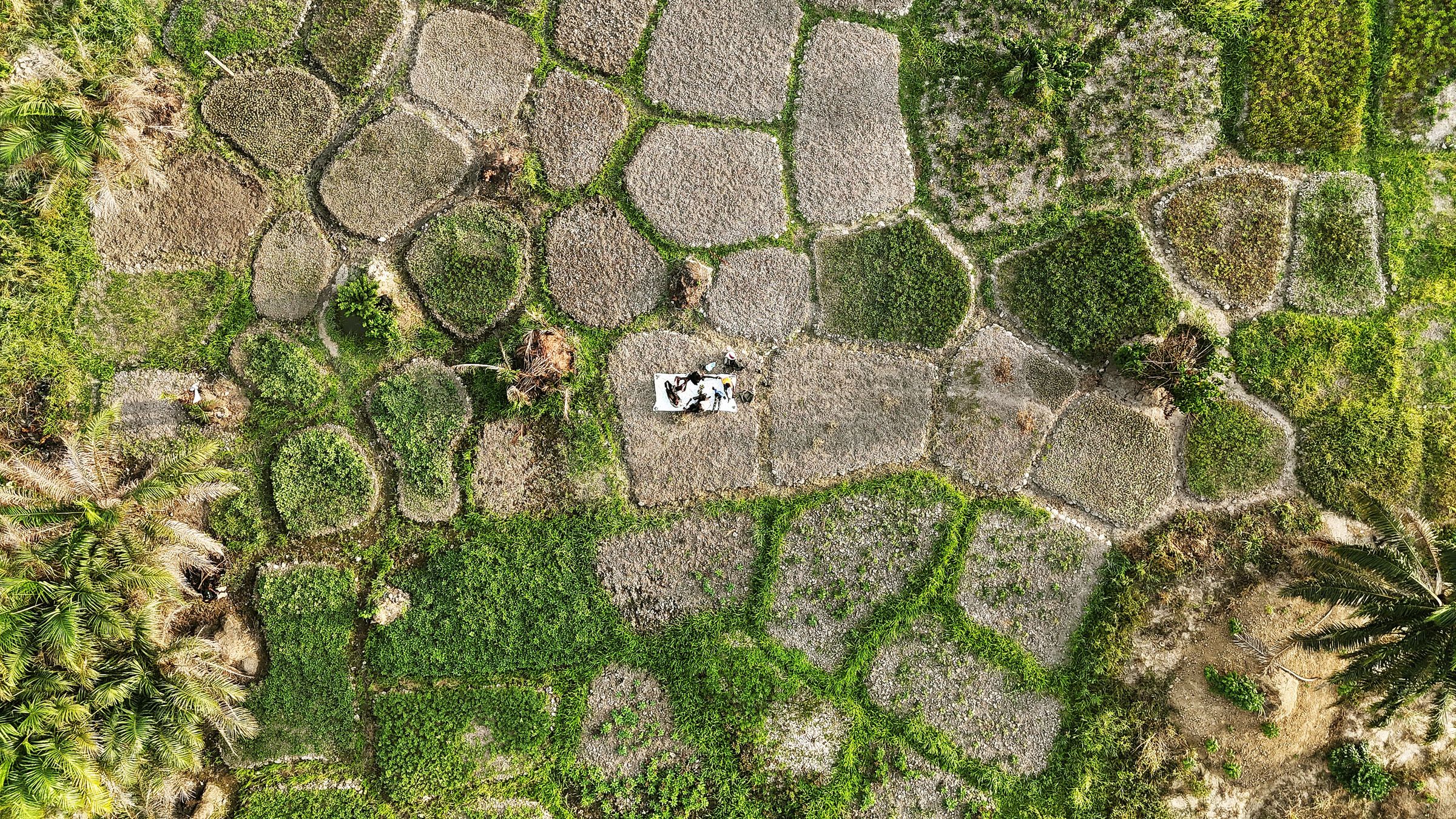
When a flood, landslide or cyclone strikes, the first hour is about information: where are people stranded, which roads are cut, which bridges are safe? Drones can answer these questions in minutes.
Disaster response is a team effort between disaster-management authorities, police, health services and local administration. Drone data is most useful when it flows into a shared operating picture rather than staying with a single team.
Every minute saved in assessment is a minute gained for rescue.
Districts that practise drone drills, pre-clear flight areas and keep trained pilots on call respond faster. Regular training and simple, dependable software are the difference between a drone that sits in a store room and one that saves lives.
This article is an editorial overview for general information. Policies and platform rules change; please confirm current details with official sources. Photo credits are listed on the Business Profile page.
Ready-made tools are quick to start; custom software fits how you work. A practical way to choose without over-spending.
Read article →
Search, social media and content are not separate jobs. Here is how to join them into one measurable growth engine.
Read article →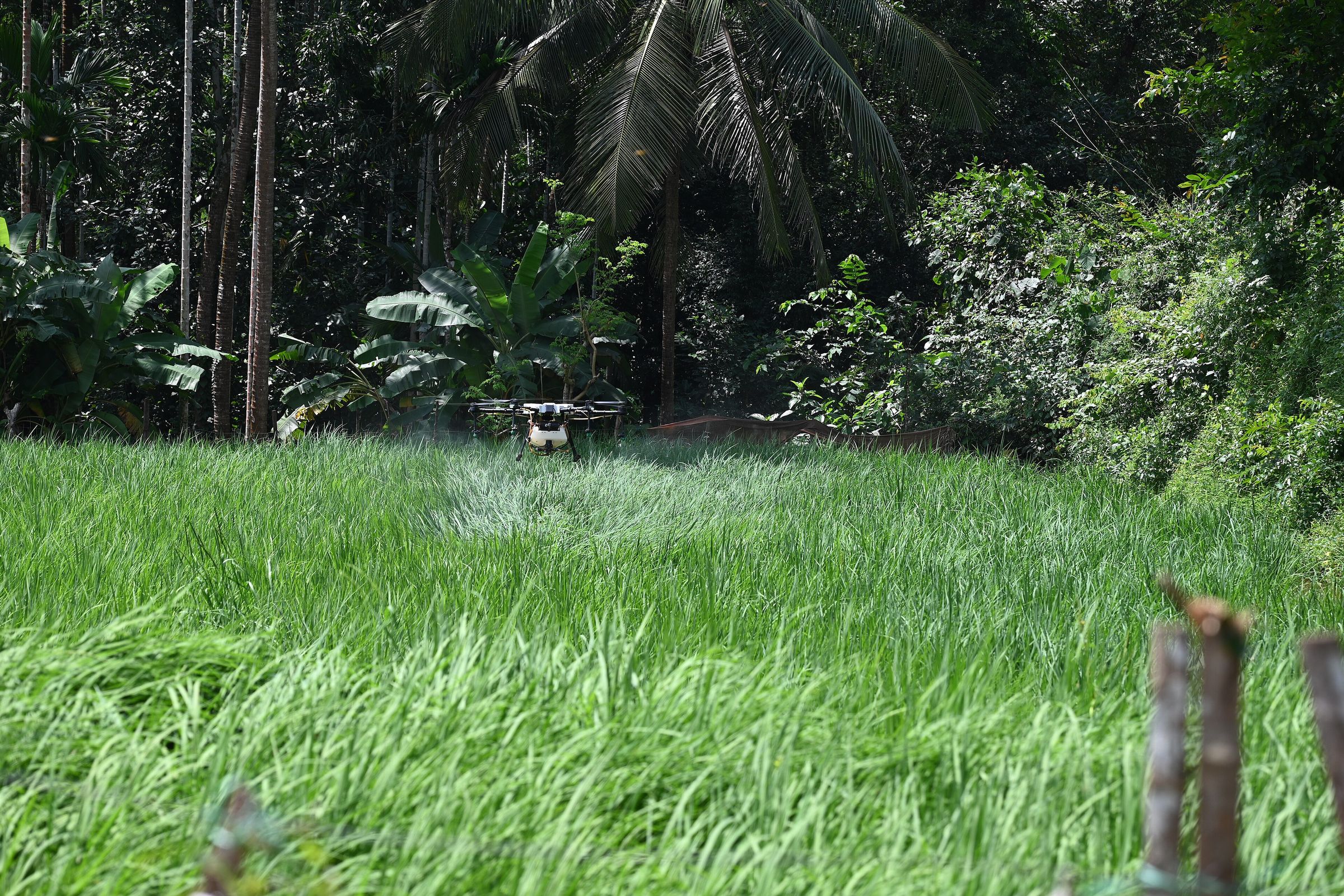
From Namo Drone Didi to precision spraying, agricultural drones are moving from pilot projects to everyday farm equipment.
Read article →