Software
Custom Software or Off-the-Shelf? How Indian Businesses Should Decide
Ready-made tools are quick to start; custom software fits how you work. A practical way to choose without over-spending.
Read article →15 August 2026 · 5 min read · By the IATSPL team
It is easy to focus on the drone itself—the rotors, the camera, the battery. But a drone is really a flying sensor. The value comes from what happens to its data afterwards.
Drone video and location data can be sensitive, especially for healthcare and law enforcement. Good practice includes encrypted links, role-based access, audit trails, regular backups and clear retention policies.
The best drone program is the one whose output reaches the right person, securely, in time to matter.
Many programs stall because hardware, mapping software and reporting are bought from separate vendors with no common thread. A single integrated partner across software, networks, cloud, cybersecurity and training—exactly the “one coordinated partner” model IATSPL offers—reduces that friction.
This article is an editorial overview for general information. Policies and platform rules change; please confirm current details with official sources. Photo credits are listed on the Business Profile page.
Ready-made tools are quick to start; custom software fits how you work. A practical way to choose without over-spending.
Read article →
Search, social media and content are not separate jobs. Here is how to join them into one measurable growth engine.
Read article →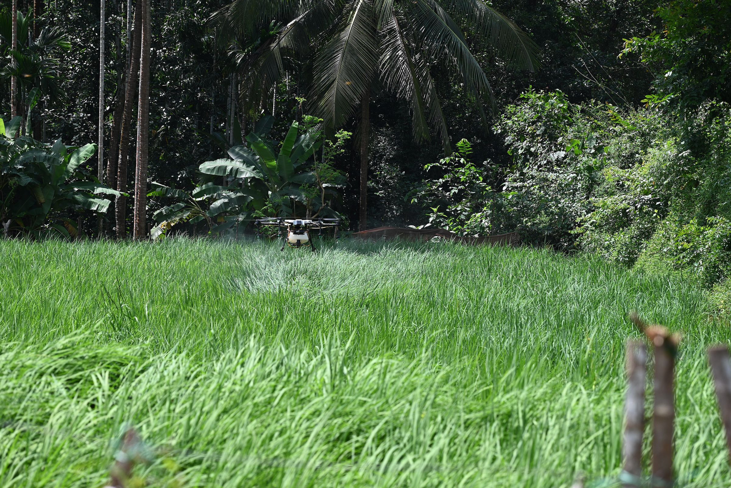
From Namo Drone Didi to precision spraying, agricultural drones are moving from pilot projects to everyday farm equipment.
Read article →